
GIS, spatial analytics and geospatial database development
Place & Pattern
Make place-based decisions clearer.
GIS, spatial analytics, and decision tools designed around planning, governance, and operations.
From scattered layers to usable spatial intelligence.
A spatial system works when people can trust the data, understand the pattern, and connect it to a real workflow.
Decision-support tools, suitability/risk analysis and mapping
Spatial visualization for planning, operations and governance
Environmental, natural-resource and land-use intelligence
iGAT
A flagship platform for local government transformation.
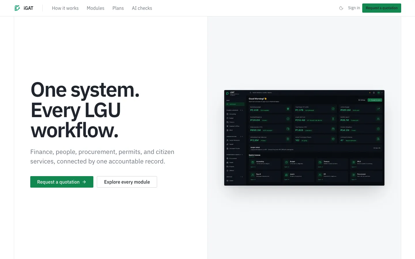
EZERIS's flagship e-governance platform combines financial management, human resources, procurement, and administrative operations with machine learning and AI embedded in the workflow.
FocusLocal governance
SystemIntegrated operations
PurposeBetter public decisions
Designed for work that crosses boundaries.
Land, water, infrastructure, agriculture, communities, and policy overlap. Spatial science lets teams examine those relationships without flattening the context.
Build the map around the decision.
Tell us what your team needs to decide, build, or improve.
Contact Ezeris